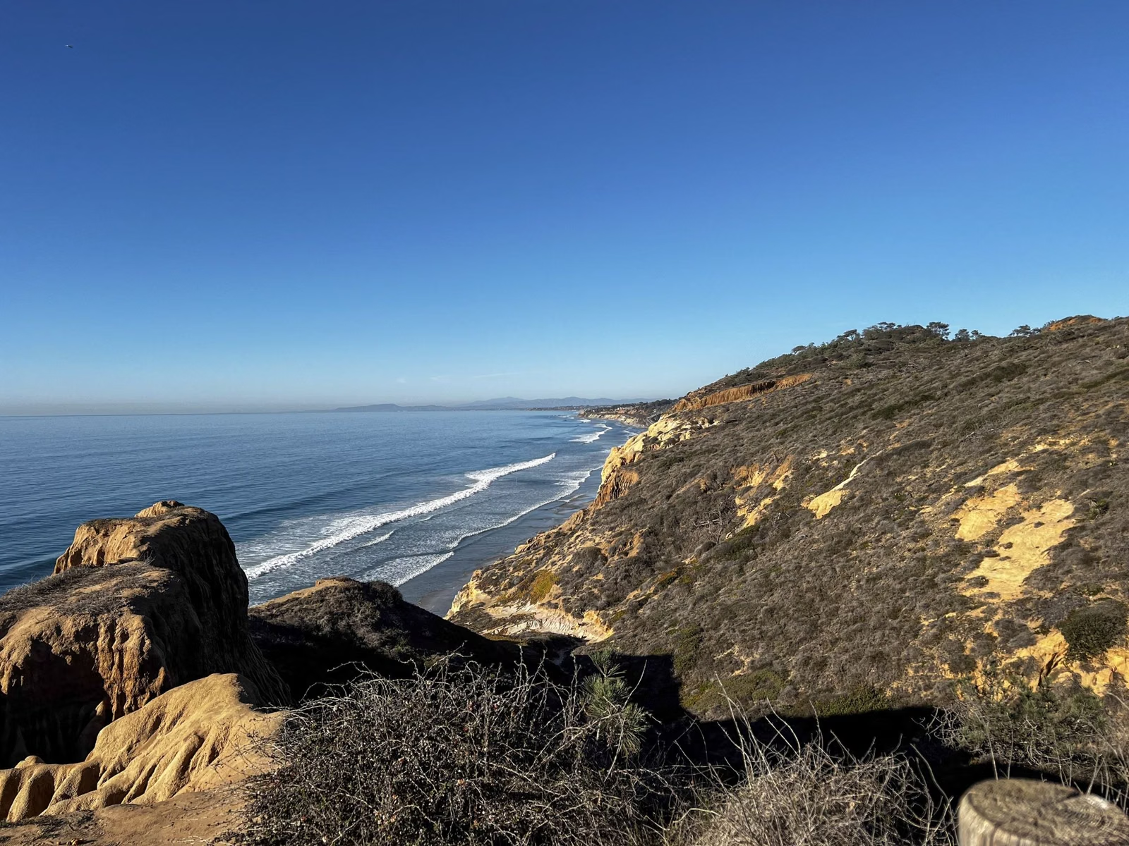
Trail Map
Torrey Pines State Natural Reserve has six short trails in the main reserve and four more in the Extension north of Los Peñasquitos Lagoon. The longest, Broken Hill, is about 1.4 miles one way, so you can hike several trails in a morning. The California State Parks trail guide is the map to carry. The main reserve trails are closed until about March 1, 2027.
Trails at a Glance
Official Maps
State Parks publishes these maps on its reserve page:
- Torrey Pines Trail Guide, color (PDF): every main reserve trail, overlook, stair and restroom
- Park infosheet with map (PDF): both beach lots and the walking route between them
- Extension trail map (PDF)
Paper trail guides are handed out at the Lodge and most trailheads when the reserve is open; State Parks asks you to return them for reuse.
Main Reserve Trails
All of these start near the Lodge and the upper lots at the top of the park road.
- Guy Fleming Trail, a 2/3-mile loop: the easiest and most level trail, along the bluffs with two overlooks and the most wildflowers.
- Parry Grove Trail, a ½-mile loop: secluded, with more than 100 stone steps in and out. The Whitaker native plant garden is at the trailhead.
- High Point Trail, 100 yards: a short, steep set of steps to a view over the reserve, the lagoon and inland.
- Razor Point Trail, about 2/3 mile to the overlook: sandstone gorges and gnarled pines, with a side trip to Yucca Point.
- Beach Trail, ¾ mile: drops about 300 feet and ends in stairs down to Flat Rock on the beach.
- Broken Hill Trail, about 1.3 miles via the South Fork or 1.4 miles via the North Fork: the longest, through chaparral, joining the Beach Trail just above Flat Rock.
Reserve Extension Trails
The Extension is a separate section of the reserve in Del Mar, north of the lagoon. Its trails are the Mar Scenic Trail (½ mile), the Daughters of the American Revolution Trail (½ mile), the Margaret Fleming Nature Trail (¾ mile) and the Red Ridge Loop Trail (1/3 mile).
Accessible Routes
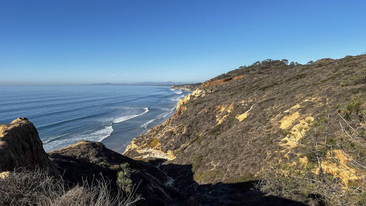
State Parks lists four accessible routes near the west parking lot: the South Broken Hill Trail (0.88 mile each way to an overlook facing Broken Hill), the West Parking Lot Overlook Trail (0.14 mile), the Discovery Trail with lagoon views (0.13 mile), and a 0.08-mile section at Parry Grove beside the native plant garden. Strollers and wheelchairs, including motorized ones, may use any accessible trail.
Reading the Map
- Tide warning. The guide marks the beach below the cliffs as impassable for two to three hours either side of high tide. Check a tide table before taking the Beach or Broken Hill trails down.
- Rain closures. Broken Hill, Razor Point and the Beach Trail usually close after rain to stop erosion, for a time that depends on the storm. The Parry Grove steps get slippery.
- Cliff edges. Stay on the marked trail; cutting switchbacks and climbing cliffs is illegal and dangerous.
Trail Map FAQ
How long are the trails at Torrey Pines?
Short. The main reserve trails run from 100 yards (High Point) to about 1.4 miles one way (Broken Hill North Fork). The Guy Fleming loop is 2/3 mile and the Beach Trail is ¾ mile.
Where can I get a Torrey Pines trail map?
State Parks posts the trail guide as a PDF on its reserve page, and paper copies are at the Lodge and most trailheads when the reserve is open.
Which Torrey Pines trail goes to the beach?
The Beach Trail, ¾ mile ending in stairs to Flat Rock, and both forks of the Broken Hill Trail, which join the Beach Trail just above Flat Rock.
Are the Torrey Pines trails open?
Not in the main reserve, which is closed until about March 1, 2027. State Parks lists the Extension trails as open.